
Before You Head In
Seymour Arm isn’t difficult to get to, but it’s also not the kind of place you want to arrive unprepared. A few small things make a big difference once you’re out here.
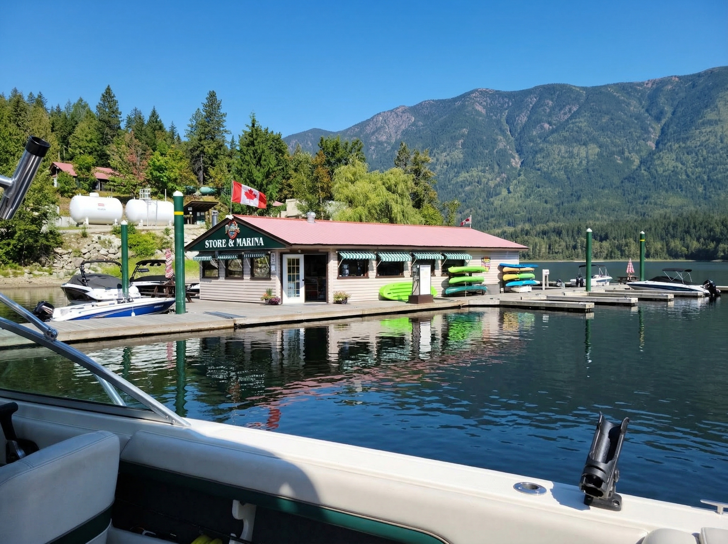
Fuel
Fuel is available at Daniels Store & Marina, but hours are limited and seasonal. Early season can be as little as a short Saturday window.
If you miss it, your next reliable options are back out toward Squilax along Anglemont Road. Plan ahead before heading in.
Cell Service
Service drops along the forestry road and is unreliable throughout the area. Some signal can be picked up by boat further out on the lake.
Download maps ahead of time or plan your trip with others before arriving. WiFi is available at Daniels Store.
Supplies
Daniels carries groceries, fuel, drinks, and essentials, but selection is limited compared to town.
If you absolutely need something, bring it with you. This is the kind of place where being slightly over-prepared makes things easier.
Road Access
Expect roughly 40+ km of gravel from the St. Ives turnoff. Conditions vary with weather and maintenance.
Secondary routes exist through forestry roads, but can be rough, narrow, and active with logging traffic.
What People Underestimate
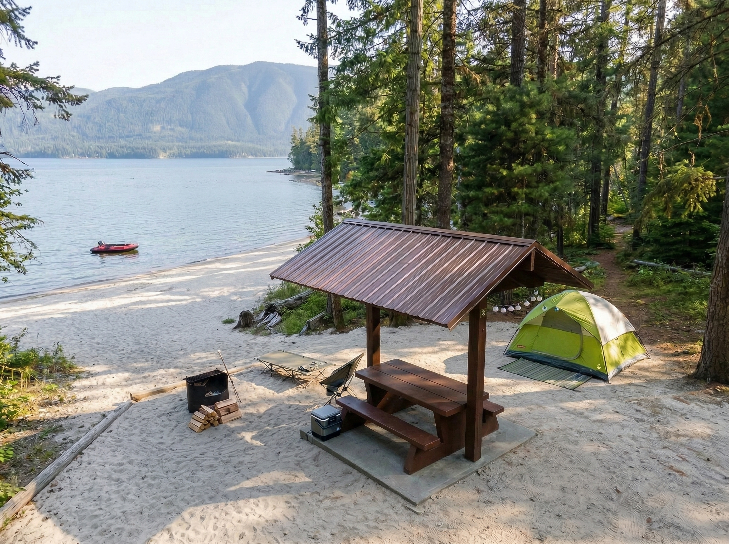
It’s quieter than most expect. No streetlights, very little noise, and once generators shut down, it’s just darkness and the lake.
Local Reality
You’re in backcountry forest. Wildlife is active, and road traffic can include logging trucks.
The community is small and respectful. Come prepared, and you’ll fit right in.
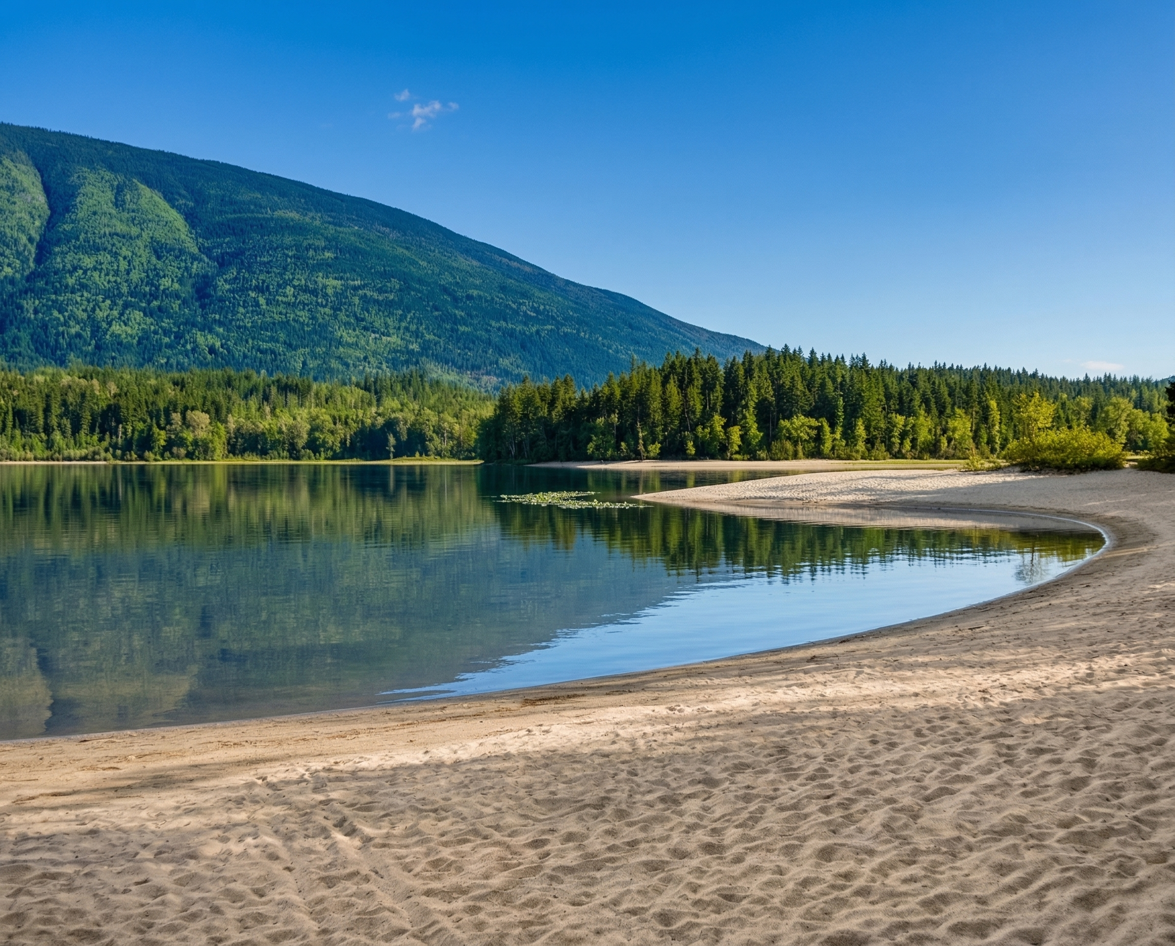
Where to Go
Seymour Arm is small, but there are a few places that matter once you’re here. This section gives you a quick sense of what’s around before diving deeper into the full guide.
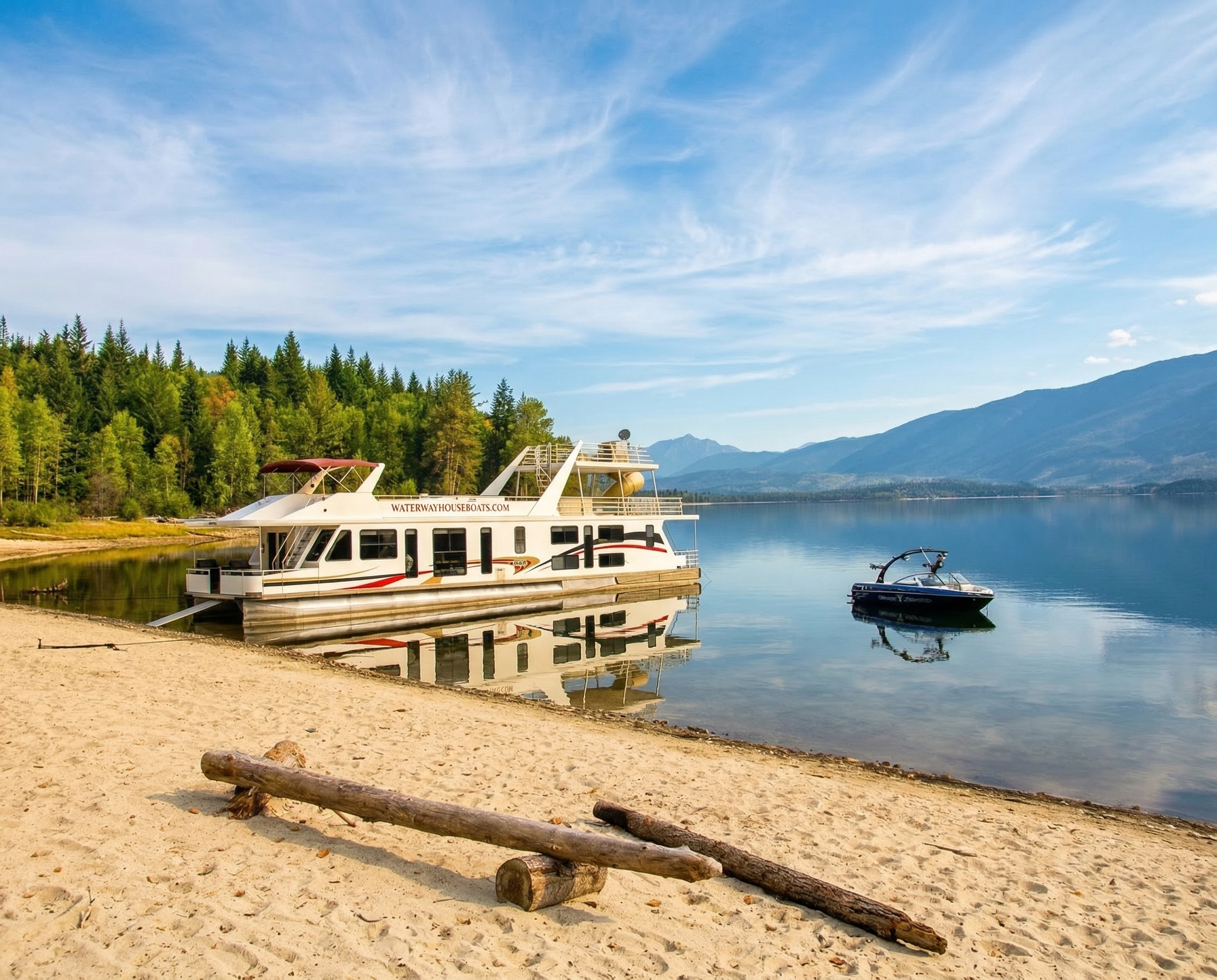
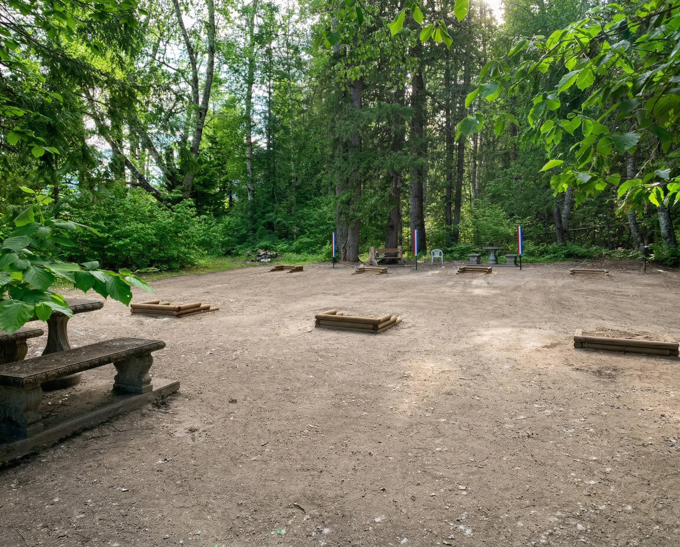
Things to Do
Seymour Arm isn’t packed with attractions. That’s the point. Most people come here for a handful of things that end up filling their days without much effort.
Important Info
Seymour Arm is beautiful because it still feels remote. That also means a few things matter more here than they would in a more serviced lakeside town.
Wildlife & Backwoods Awareness
Seymour Arm is forest backcountry. Bears are part of life here, and so are other animals people do not always expect, including turtles and the occasional wolverine.
Keep food secure, supervise kids, control pets, and do not treat the area like a manicured lakeside park. This is still wild country.
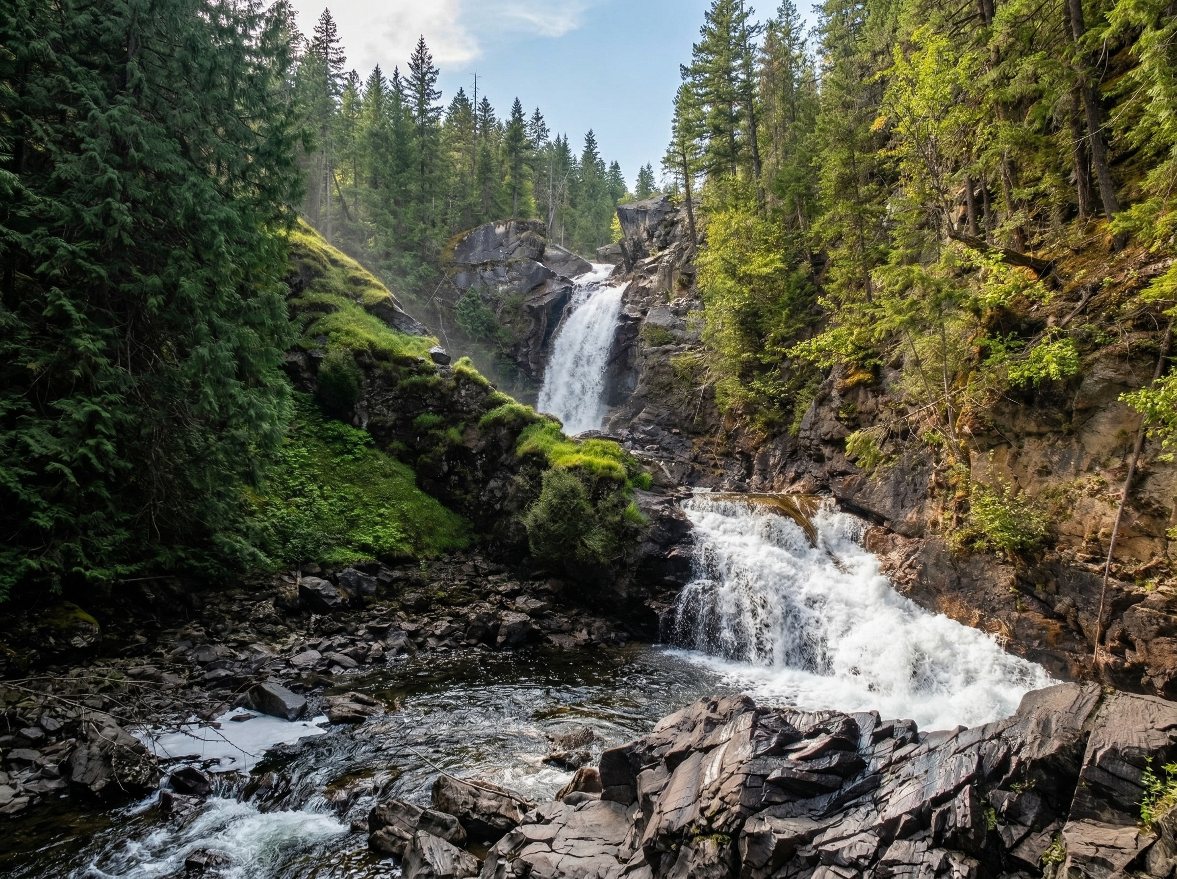
Water, Trails & Falls Caution
The lake looks calm until it is not, and the same goes for local falls and creek areas. Around places like Albas Falls, there are steep rough sections, sharp drop-offs, cold fast water, and real risk if people get careless.
Children should be watched closely, pets should stay under control, and nobody should assume that a short trail or shoreline stop is automatically safe just because it looks accessible.
First Responders & Emergencies
Seymour Arm is a small community, and emergency support often depends on local people stepping up. Volunteer first responders are part of that reality.
Phone: 250-308-1101
Address: 1247 Strip Road, Seymour Arm BC, V0E 1M0
In a remote place, prevention matters. Common sense matters. And being prepared matters more than people sometimes think.
Seasonal Hours & Changing Conditions
Seymour Arm changes with the season more than many visitors expect. Summer fills out with campers, cabins, boats, and houseboat traffic. Winter strips things back and changes the rhythm completely.
Business hours, event timing, and what is open can shift quickly here. It always helps to double-check current conditions rather than assume last month’s information is still accurate.
Community Respect
Seymour Arm is not just a place people visit. It is a real small community, and people tend to be protective of it for good reason.
Visitors usually do well here when they keep things simple: pack out what they bring in, keep noise reasonable, respect shared spaces, and understand that this place runs more on neighbourliness than on formal infrastructure.
The more prepared and respectful people are, the more Seymour Arm tends to make sense. That is true in summer, and probably even more true in the quieter months.
It is one of those places that gives a lot back, but it usually expects a bit of awareness in return.
Getting There
Seymour Arm sits at the far end of Shuswap Lake. You don’t pass through it by accident. You head there on purpose, and the last stretch of the drive makes that clear.
Main Route (North Shore of Shuswap Lake)
The main way into Seymour Arm is by following the north shore of Shuswap Lake through Scotch Creek, Celista, and Anglemont.
Once you pass through St. Ives, the pavement ends and the road continues straight as gravel all the way into Seymour Arm.
There’s no turnoff or decision point. The road simply changes, and you keep going.
The Gravel Section
Expect roughly 40 to 45 kilometres of gravel after St. Ives. Conditions change depending on weather, grading, and traffic.
Some stretches are smooth, others can be washboard, dusty, or rough. It’s a steady drive, not a fast one.
Alternate Back Route (Malakwa / Gorge Area)
There is a secondary access route through forestry roads from the Malakwa side.
It can be rougher, narrower, and more active with logging traffic. Most visitors stick to the main route unless they already know the area.
Drive with patience. Watch for dust, changing surfaces, and vehicles coming around blind corners. The last stretch is part of getting there, not something to rush through.